Skip to main content
Menu profilo utente
Search
Navigazione principale
About
Data access
Collaborate
News and events
Resources
Training
Notifications
EFAS Wiki
Navigazione principale secondo livello
News
News
2024-02-21
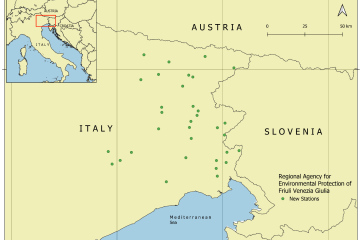
CEMS HDCC integrated hydrological station data from the Regional Agency for Environmental Protection of Friuli Venezia Giulia (Italy)
News
2024-02-16
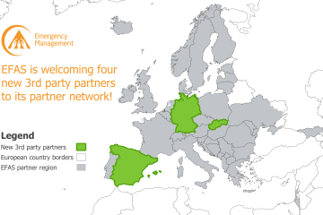
New EFAS Partners in Germany, Slovakia and Spain.
News
2024-02-14
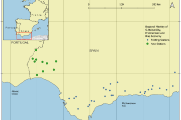
CEMS HDCC integrated hydrological station data from the Government of Andalusia (Spain)
News
2024-02-09
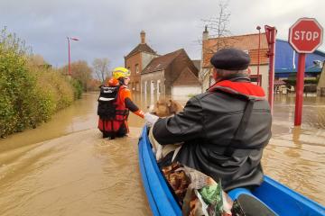
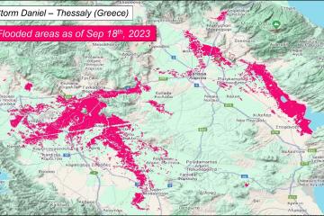
Storms and Flood in the UK and France, January 2024
News
2024-02-05
EFAS Training for the Slovak Water Management Enterprise
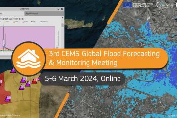
Event
2024-01-22
3rd CEMS Global Flood Forecasting and Monitoring Annual Meeting : 5-6 March, REGISTER NOW!
News
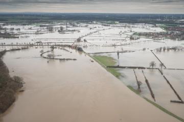
2024-01-22
Flooding in Germany, December 2023
News
2024-01-22
New CDS soon to be launched - expect some disruptions
News
2024-01-17
We have been listening
News
2024-01-17
Major upgrade release of the CEMS Global Flood Monitoring product (v3.0.0)
Pagination
Previous page
‹‹
Page 2
Next page
››
Map viewer
Training